Gallery
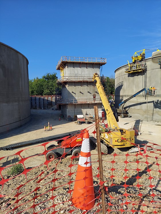
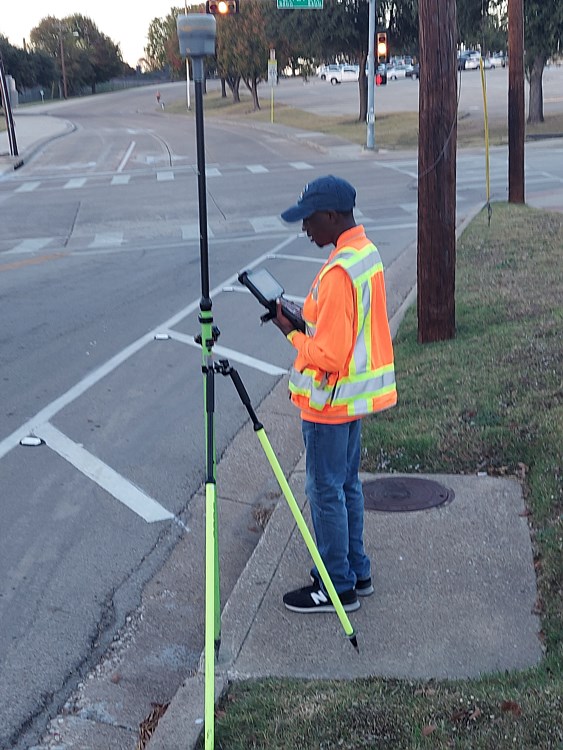
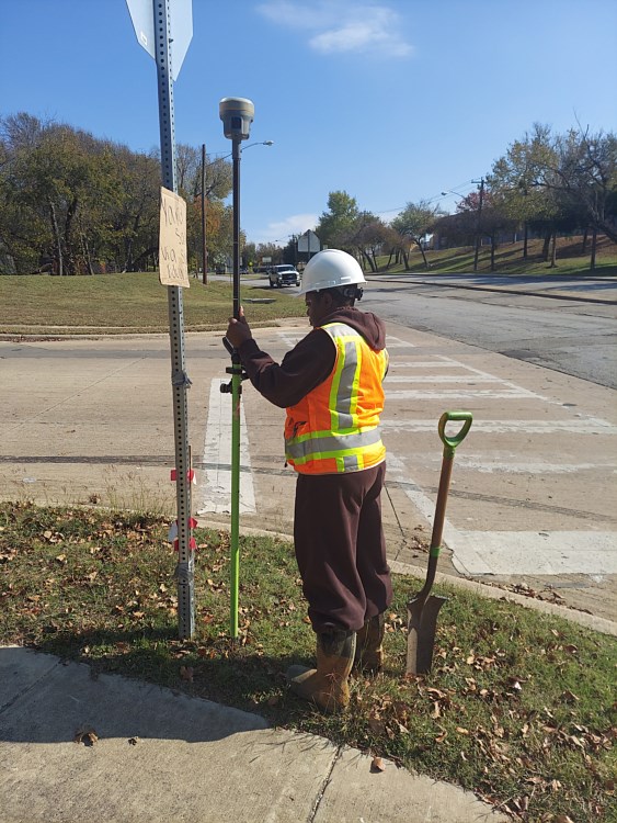
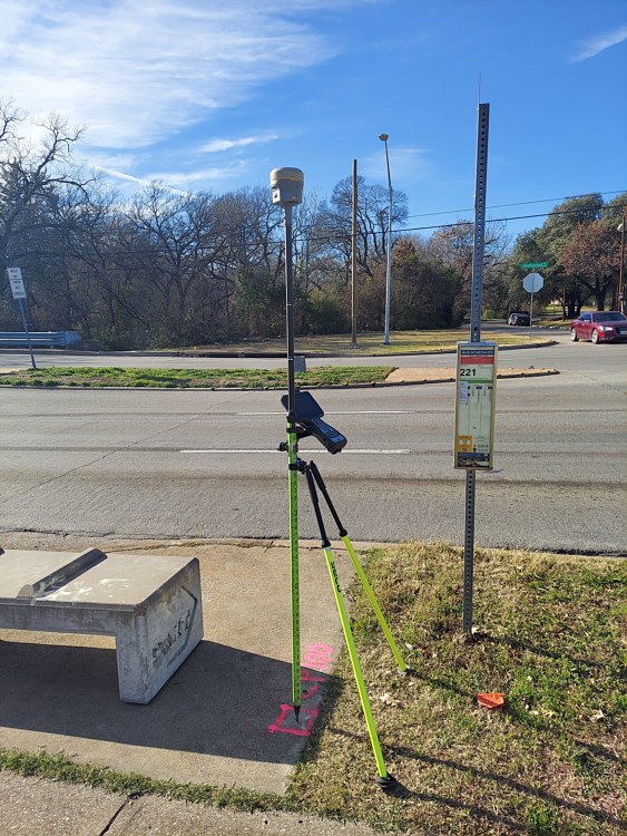
The ICCDRONES gallery highlights a selection of aerial mapping and data collection projects completed for engineers, contractors, developers, and municipalities throughout the Dallas-Fort Worth region. Each project reflects the precision, efficiency, and technical expertise that define the ICCDRONES approach to modern surveying and mapping. By combining advanced drone (sUAS) technology with proven ground-based data collection methods, the team delivers highly detailed aerial imagery, topographic mapping, and 3D models that support accurate project planning and design.
Within this gallery, you will see examples of aerial site mapping, topographic surveys, construction progress documentation, and large-scale development mapping. These visuals demonstrate how ICCDRONES captures high-resolution data across projects of all sizes - from individual construction sites to expansive development corridors. Every project showcased represents the company’s commitment to engineering-grade accuracy, dependable deliverables, and efficient data collection that helps clients move confidently from concept and design through construction.